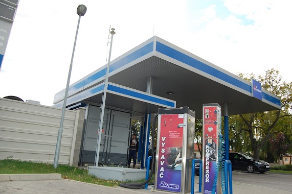
Gas station nearby Slovnaft Sereď
Coronavirus disease (COVID-19) Situation
confirmed cases
1877605
deaths
21224
Slovakia
Gas station nearby Slovnaft Sereď
Slovnaft Sereď
Bratislavská, 926 01, Galanta, Trnavský kraj, SK Slovakia
contacts phone
:
+421
Latitude:
48.2810377
, Longitude:
17.7261141
larger map & directions
read more
nearest Gas station
474 m
Fuel filling station Shop Sered
Trnavská cesta 949/6, Sereď
Gas station
read more
497 m
Shell
Trnavská cesta 3, Sereď
Gas station
read more
786 m
G&G
Cukrovarská 32, Sereď
Gas station
read more
6.772 km
OMV
919 23, Seredská 375/23
Gas station
read more
10.025 km
Gas Station OMV
Cesta D61, Zelenec pri Trnave
Gas station
read more
10.427 km
empark
Seredská 247, Modranka
Gas station
read more
12.595 km
TANKER Trnava Truckcentrum
Trnava
Gas station
read more
12.819 km
Benzínka
Nitrianska 917 01, Trnava
Gas station
read more
12.83 km
Trnava
Mikovíniho 6961/10, Trnava
Gas station
read more
12.914 km
Slovnaft
Nitrianska 19, Trnava
Gas station
read more
13.594 km
Shell
Nobelova 6993/1, Trnava
Gas station
read more
14.209 km
OMV
Hlboká ul. 28 Trnava
Gas station
read more
14.478 km
Nabijacia stanica pre elektromobily Trnava Coburgova 82
Coburgova 9005/82
Gas station
read more
14.862 km
Slovnaft
Bučianska cesta Trnava
Gas station
read more
15.014 km
OMV
Veterná 41, Trnava
Gas station
read more
15.47 km
OMV Čerpacie stanice
Hospodárska ul. 2 Trnava
Gas station
read more
15.857 km
TIR PETROLEUM
917 01, Andreja Kmeťa 1624/26, Trnava
Gas station
read more
16.419 km
Oktan
Trstínska cesta 7160/4, Trnava
Gas station
read more
16.556 km
TIR PETROLEUM
Suchovská, Trnava
Gas station
read more
17.296 km
Real-K
Trstínska cesta 6969/23, Trnava
Gas station
read more
19.548 km
Shell
Šelpice 148, Šelpice
Gas station
read more
22.773 km
Score
Trnavská 153
Gas station
read more
22.799 km
Slovnaft Trnavská
Trnavská 180/29, Kynek
Gas station
read more
23.231 km
Shell
Hlohovecká 826/1A, Lužianky
Gas station
read more
25.046 km
Zákaznícke centrum SPP
Štúrova, Nitra
Gas station
read more
📑
all categories
Accounting
Administrative area level 1
Administrative area level 2
Airport
Amusement park
Aquarium
Art gallery
Atm
Bakery
Bank
Bar
Beauty salon
Bicycle store
Book store
Bowling alley
Bus station
Cafe
Campground
Car dealer
Car rental
Car repair
Car wash
Casino
Cemetery
Church
City hall
Clothing store
Convenience store
Courthouse
Dentist
Department store
Doctor
Electrician
Electronics store
Embassy
Establishment
Finance
Fire station
Florist
Food
Funeral home
Furniture store
Gas station
General contractor
Grocery or supermarket
Gym
Hair care
Hardware store
Health
Home goods store
Hospital
Insurance agency
Jewelry store
Laundry
Lawyer
Library
Light rail station
Liquor store
Local government office
Locality
Locksmith
Lodging
Meal delivery
Meal takeaway
Mosque
Movie rental
Movie theater
Moving company
Museum
Natural feature
Neighborhood
Night club
Painter
Park
Parking
Pet store
Pharmacy
Physiotherapist
Place of worship
Plumber
Point of interest
Police
Post office
Premise
Real estate agency
Restaurant
Roofing contractor
Route
Rv park, camping
School
Shoe store
Shopping mall
Spa
Stadium
Storage
Store
Subpremise
Supermarket
Synagogue
Taxi stand
Train station
Transit station
Travel agency
University
Veterinary care
Zoo
administrative area level 3
sublocality level 1
↑